Yellow Water picnic area and car park (BT34 3BY)
Travel through Banbridge, Rathfriland and Hilltown, turning left at the former church in the middle of Hilltown towards Castlewellan and Newcastle.
After approximately 750 metres, turn right towards Newcastle on the B27 and continue on this road following the signs for Kilkeel and Spelga Dam. In about one mile the road branches left towards Newcastle but ignore this and continue straight on the B27 towards Splega and Kilkeel for a further 500 metres to the crossroads, turning right on the Sandbank Road, signed to Rostrevor and (possibly) Santa's Cottage.
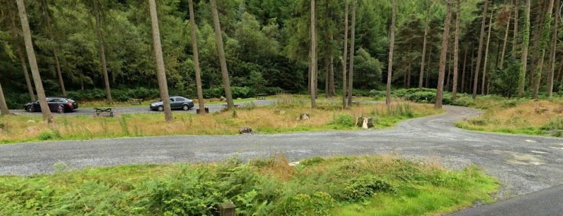 You will see the parking/picnic area through the trees on your left.
Continue past the BB Hut and Leitrim Lodge car park, on your left a little over two miles down the Sandbank Road. Yellow Water picnic area and car park (BT34 3BY) is 2 miles further beyond Leitim Lodge - Sandbank Road has by this stage become Newtown Road.
Alternative route
drive "straight" through the square in Hilltown i.e. round the church towards Rostrevor and 400 metres beyond the square (after the big hall on your left) take the road to your left, Leitrim Road, and follow this down to T junction at the end of the road. Turn right (towards Rostrevor and the sea) and Leitrim Lodge car park is almost immediately on your left, just past the BB hut. Continue on to Yellow Water - a further two miles. This is a shorter and some say easier route to Leitrim Lodge and Yellow Water but it's on a narrow winding road so you may be delayed by large vehicles.
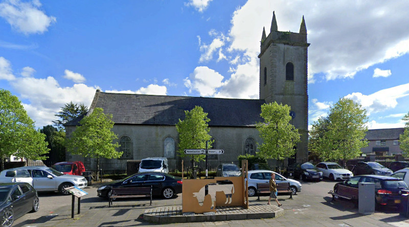
There are public toilets to the left of the former church in Hilltown when viewed, as above, from the north / Rathfriland side.